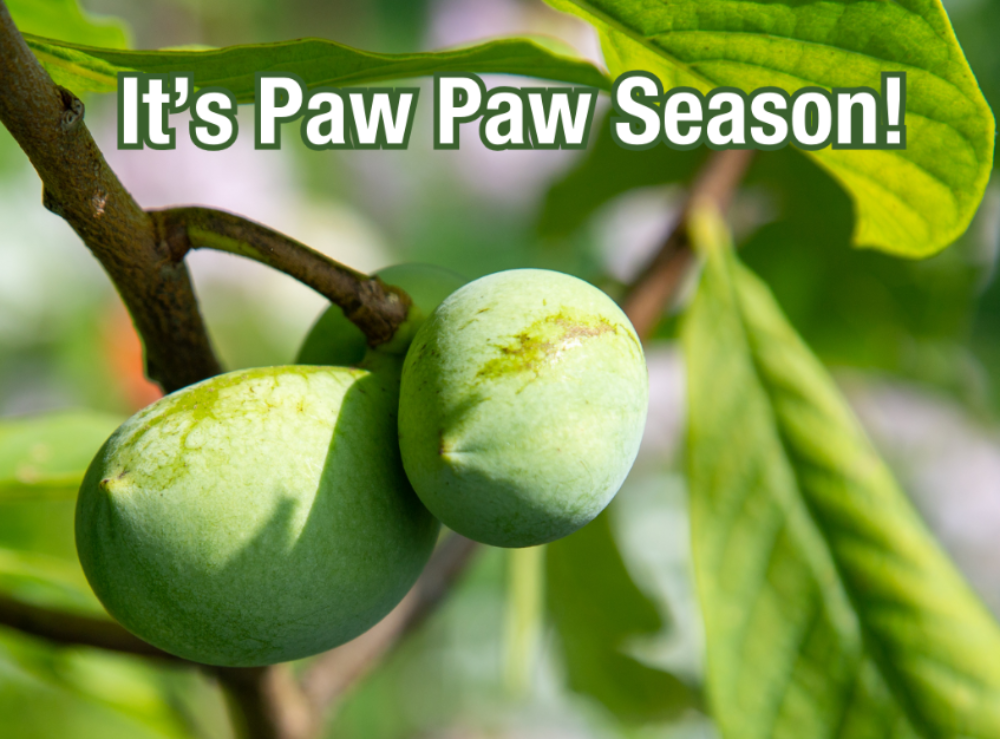
 Pawpaw season is here! Find, pick, peel and eat this fleeting fruit for a taste of the tropics right here in Appalachia. Did you know the Pawpaw is North America’s largest native fruit? No matter what time of year it is, the Asheville Edibles Map provides great ideas for locating and using some of the delicious edible fruits growing in our city. The map recently underwent a significant update with data re-verification to offer more accurate locations and new detailed descriptions of the plants and their potential uses.
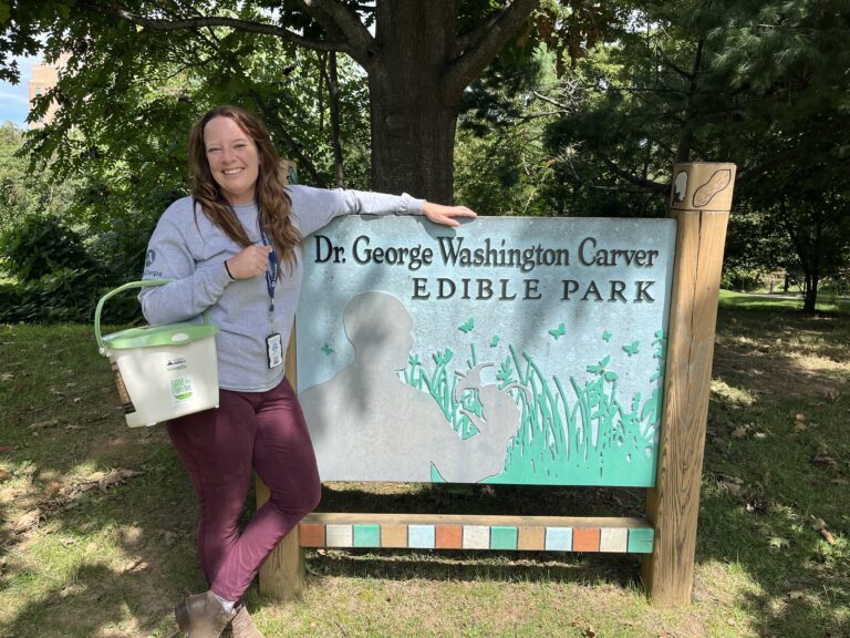
A special thanks goes out to Aurora Wynne, our AmeriCorps Resilience Project Coordinator, and her AmeriCorps colleagues from across the region who worked together to verify hundreds of plant species and locations. Their efforts, completed in mid-July, ensure that the map is now more comprehensive and reliable than ever before.
The Asheville Edibles Map is more than just a tool for finding edible plants. It’s also a way to engage with our community, and community members are encouraged to contribute their knowledge of edible projects, plantings, and gardens. By sharing information, the map becomes a living, collaborative platform that helps promote and strengthen a sustainable food ecosystem in Asheville.
To learn more about the diversity of edible plants around us, visit the online map. If you’d like to contribute new sites or information, fill out this short form. Join us in discovering the incredible edible landscape of Asheville and help nurture a thriving and inclusive city environment. Happy pawpaw picking!