The City of Asheville seeks community input on potential routes for the Reed Creek Greenway Feasibility Study. The study evaluates routes along roadways and off-road corridors and to determine the preferred route. The study will also develop cost estimates and an implementation plan to construct the greenway.
Your feedback is incredibly valuable and will provide the framework for developing the proposed Reed Creek Greenway through Asheville. The survey will remain open through September 22, 2023.
Please take a few minutes to respond to this survey


Background information of the Reed Creek Greenway Feasibility Study
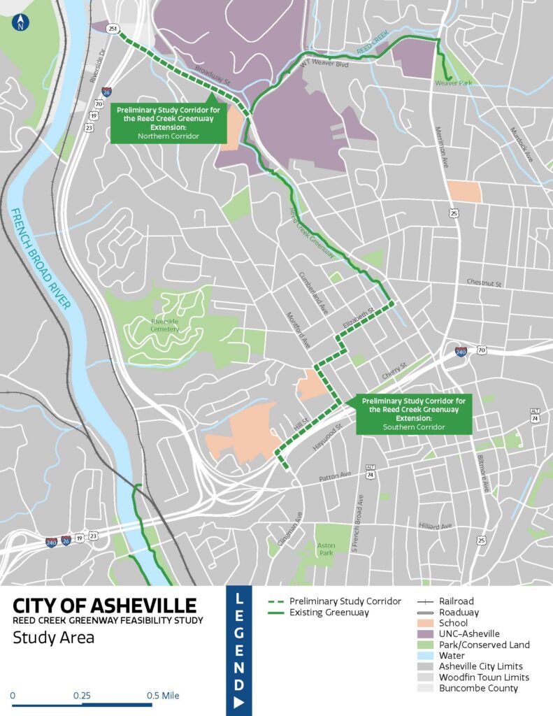
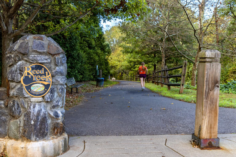
The Reed Creek Greenway is a 2.75-mile corridor in Asheville that spans Reed Creek from the French Broad River to Aston Park at the intersection of Clingman Avenue and Hilliard Avenue. The existing segment of the Reed Creek Greenway begins at the intersection of Broadway Street and WT Weaver Boulevard, connecting to Glenn’s Creek Greenway and follows Reed Creek to Elizabeth Street. This study will evaluate potential routes for extending the Reed Creek Greenway to the north and south.
The northern corridor will evaluate routes along Broadway Street and Reed Creek from WT Weaver Blvd to NC-251 and Riverside Drive.
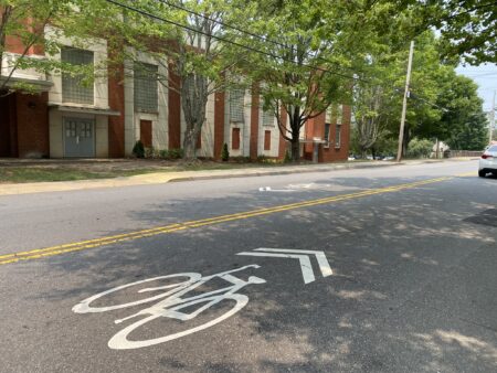
The southern corridor will evaluate routes through the Historic Montford Area District from the existing Reed Creek Greenway trailhead at Elizabeth Street to the I-240/US-70 pedestrian bridge near Isaac Dickson Elementary School.
These segments of the Reed Creek Greenway will close key gaps in Asheville’s greenway network as they will provide connections to the Wilma Dykeman Greenway along the French Broad River, West Asheville Greenway, Bacoate Branch Greenway, Downtown, and the River Arts District.
More information regarding the Reed Creek Greenway Feasibility Study can be found on the project page at this link.
