Happening Now
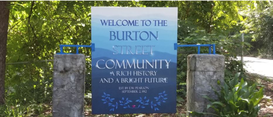
In a continuing effort to document and honor the history and contributions of African American communities that have lived and thrived in Asheville for generations, the Department of Planning and Urban design is assisting the Burton Street Neighborhood Association Leadership in the identification, documentation and dissemination of information pertaining to the history and character defining architectural and streetscape elements of the Burton Street neighborhood.
Background
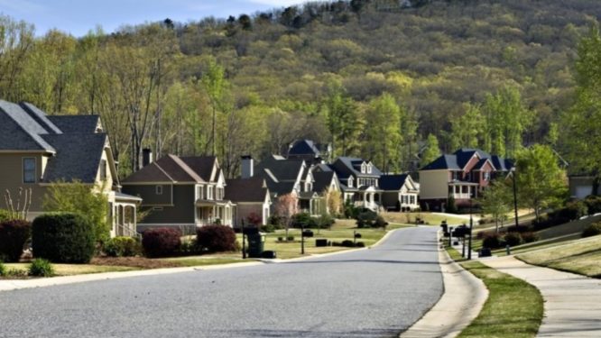
The city’s Living Asheville Comprehensive Plan calls for identifying strategies to honor the history and contributions of the African American community citywide. At the neighborhood level, the Burton Street Neighborhood Plan recognized that the Burton Street neighborhood has been the focus of renewed interest due to its proximity to downtown Asheville, growth along the Haywood Road corridor and the need for affordable housing. Consequently, there is a growing concern that the increased demand for higher density development and recent infill is changing the physical character of the neighborhood.
One specific strategy identified in the Burton Street Plan is to support design standards and policies that aim to preserve or enhance neighborhood character such as community design recommendations and/ or a Neighborhood Conservation Overlay District. In an effort to move this strategy forward, the city is working with the neighborhood association to hire a consultant to complete an architectural survey of the neighborhood. The architectural survey will build on the survey conducted as part of the I-26 Connector project, and will also include a historical overview of the community.
This information will then be used to develop a web based storymap which will include information on the predominant architectural patterns and streetscapes found in the neighborhood. It will also include information about the history of the neighborhood and the people who have made it their home. The website will be used as an educational resource, as well as a tool to guide development with the intent to protect and enhance the identity of the historic Burton Street Community.
What is an Architectural Survey?
An architectural survey is the systematic process of identifying and recording historic buildings, structures, objects, districts, and sites (both historic and prehistoric) in a given geographic or thematic area.
Why Undertake a Survey?
Documentation of the built environment as it relates to local history is an important tool for preservation of neighborhood and community character. Survey information can help inform related projects and is important in understanding the community’s historical narrative.
How Can Survey Information Be Used?
Survey information can be used to identify historic resources that require further study, individual properties and/or districts eligible for listing in the National Register of Historic Places, and individual properties and/or districts eligible for local historic designation. Architectural surveys are also critical to long range planning for the community.
What is a Story Map?
A story map is a web based multimedia tool that allows the creator to thoughtfully integrate maps, graphics, text, photos and video to tell the story of a place, event or topic. It also provides functionality, such as swipe, pop-ups, and time sliders and allows the creator to provide contextual information to the public for educational or inspirational purposes. It is a fully functioning information product.
Timeline
April 2021 – RFP Issued
June 2021 – Interviews & Consultant Selection
July 2021 – Project Kick-off
Winter 2021/22 – Submittal of Draft Survey Report
Fall 2022 – Publication of Final Survey Report & Presentation of Final Survey Results – FINAL DRAFT SURVEY REPORT
Summer/Fall 2023 – Publication of Pattern Book
Supporting Documents
Burton Street Neighborhood Plan
Burton Street Architectural Survey Presentation
Burton Street Architectural Survey Final Draft Report
Contact Information
Alex Cole, Historic Resources Planner/Project Manager


